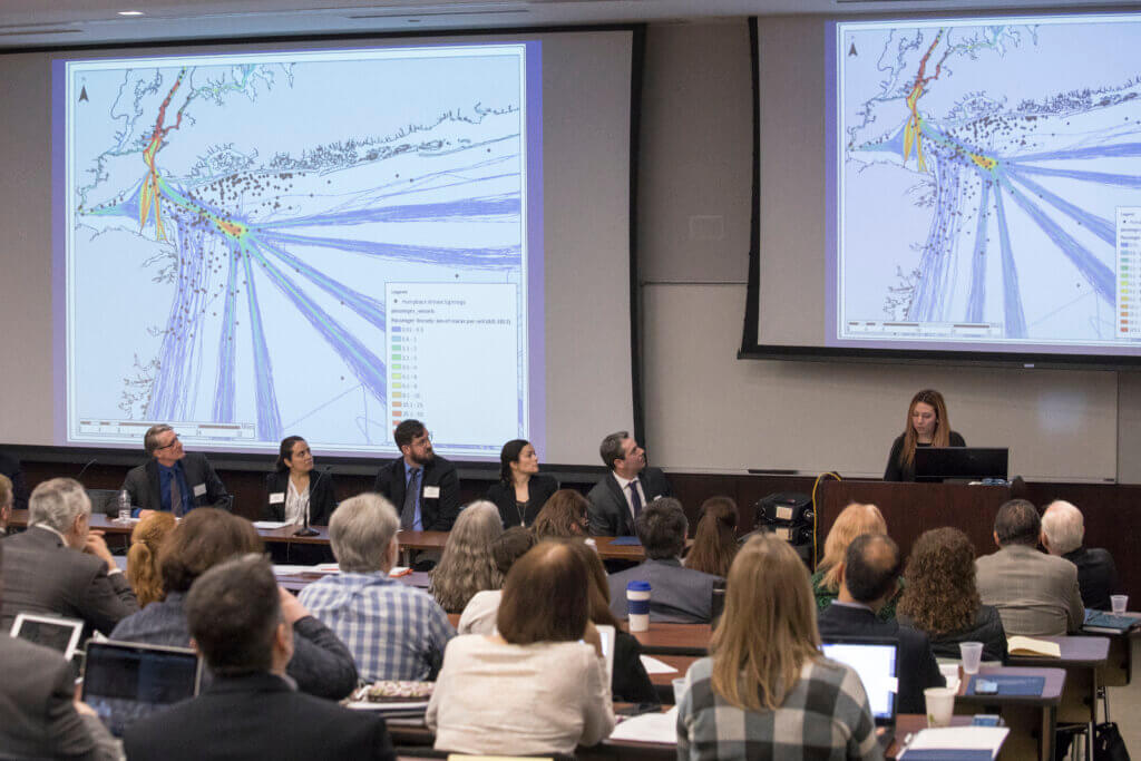
Background video transcript: Underwater close-up of a rocky reef surface encrusted with pale barnacles and algae, framed by strands of reddish-brown kelp drifting in the current. Light filters down from above, creating a bright glare at the center of the shot. Cut to the surface: two divers stand chest-deep in open, murky water wearing full scuba gear, masks pushed up on their heads. Buoys bob in the background under an overcast sky. Cut to a sandy beach: a man in a navy polo and khakis gestures with an outstretched arm while speaking to a group of young adults gathered around him. Beachfront buildings and a boardwalk railing line the background under a partly cloudy sky. Cut to a digital nautical chart of the New Jersey coastline, overlaid with dense blue vessel-traffic lines converging near major ports and colored polygon zones marking designated ocean areas. A "Data Layers" panel in the top left shows 103 active layers. Same map now shows an expanded sidebar panel listing seven active data layers, including offshore wind turbine locations, substations, cable routes, and BOEM wind planning areas, each with visibility toggles. A monthly AIS vessel-traffic slider and ship-type filters sit below the list. Cut to an indoor exhibit space: a man in a patterned shirt with a name badge holds a smartphone while speaking to someone off-screen, gesturing toward a desktop monitor beside him displaying the mobile version of the data portal map. A "MARCO Mid-Atlantic Ocean Data Portal" banner is visible behind him. Cut to three people in waders standing knee-deep in surf near a rock jetty, collecting water samples. One holds an empty sample container, while the other two operate a handheld probe on a long cable and record notes on a clipboard. Cut to a research vessel, the "R/V Heidi Lynn Sculthorpe," docked at a busy waterfront event, decorated with nautical signal flags. Visitors walk along the pier past a "Hudson River PK" tent under a clear blue sky. Wide shot at the same waterfront event, with a "Hudson River PK" tent and a "Monmouth University Urban Coast" banner in the foreground, a crowd of visitors gathered nearby. The Manhattan skyline rises across the river behind them. Cut to a group of students gathered at an outdoor information table under a tent, watching one of them interact with a desktop monitor while a staff member sits across the table. Pamphlets and a laptop are spread across the tablecloth, with more tents and the city skyline visible beyond. Aerial shot of the "R/V Seahawk" survey boat, marked "SURVEY," motoring across a bay past a marshy shoreline, with two people working on deck near equipment at the stern. Cut to dusk on a beach: a man in a floral shirt holds a small cooler and speaks to a semicircle of onlookers gathered around him, with a notebook lying open in the sand. A rocky jetty and the ocean stretch out under a cloudy evening sky. Cut to an indoor panel discussion: six panelists sit in a row on a small stage in front of draped curtains, one woman in an orange suit speaking into a handheld microphone as a seated audience listens. Cut to a top-down drone view of a tidal creek, with grassy marshland on one side and rippled sandy shallows on the other. Cut to a boat deck: a man in a hard hat labeled "Jim" and a life vest gestures while speaking to students wearing life jackets and holding clipboards, gathered around a metal sampling bucket. Wooded shoreline and open water stretch behind them under a cloudy sky. Cut to a close-up of an onboard monitor displaying sonar imaging software, showing a golden-toned seafloor scan with a detected object outlined on the right, alongside a nautical chart of the Highlands and Plum Island area. Cut to a close-up of a mixed-media artwork: a fish-shaped outline with a human body inside, formed from layered handwritten text and torn paper, set against a background of blue and green painted washes. Cut to a beach cleanup: young men in gloves collect debris from a wrack line of driftwood and seaweed, one holding open a mesh collection bag lined in a bucket. Other beachgoers walk along the shoreline in the distance. Cut to a lakeside backyard: a young man holds a remote controller, piloting a small yellow autonomous survey boat across calm water. Waterfront homes line the far shore under an overcast sky. Cut to a large group in waders standing in a loose line, waist-deep in calm bay water, facing away from the camera toward a distant shoreline.