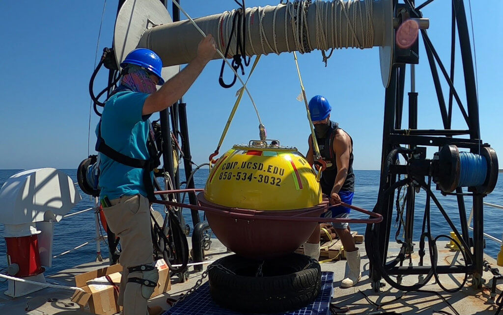
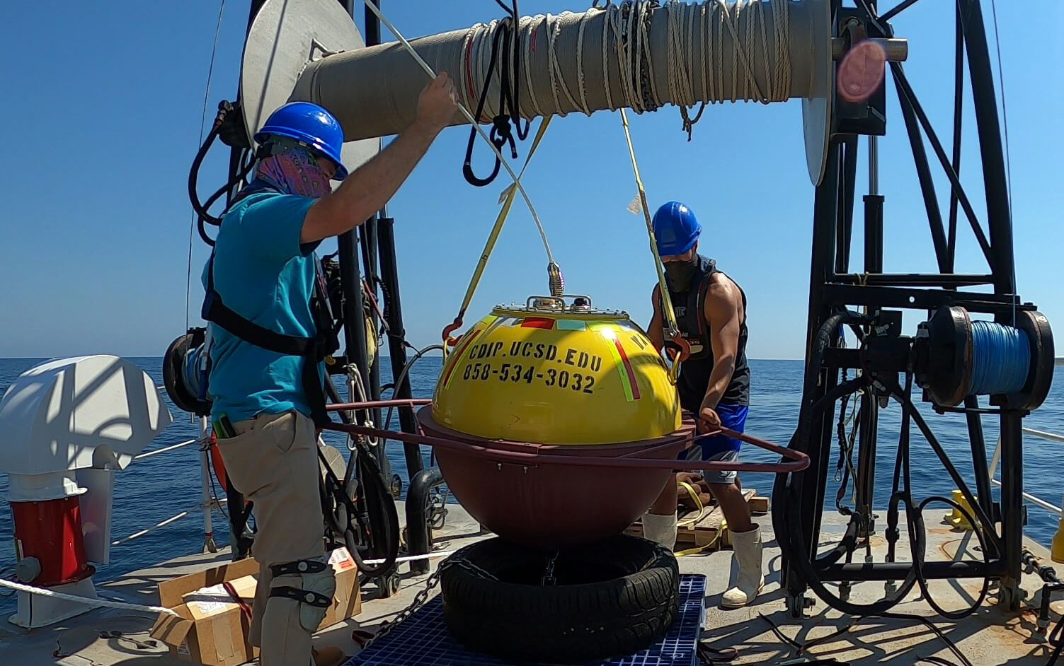
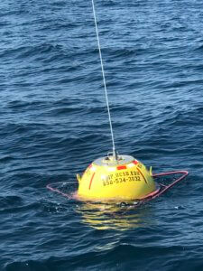
A buoy programmed to transmit real-time data on waves and temperatures at sea was recently deployed about 13 miles east of Barnegat Bay from Monmouth University’s R/V Heidi Lynn Sculthorpe.
The buoy joined a national network of stations operated by the Coastal Data Information Program (CDIP), based at the Scripps Institution of Oceanography, to provide coastal engineers and planners, scientists, mariners and the public with a wealth of data that can inform their research and decision-making. Among the parameters being measured are average wave heights, the distance between waves and the direction of their movement. A live feed sharing data from the buoy is now available on the CDIP website.
The buoy’s location fills an important gap for researchers, according to Urban Coast Institute Associate Director Thomas Herrington. The nearest stations of its kind, all maintained by the National Oceanic and Atmospheric Administration, are located off Long Island, at the entrance to New York Harbor and offshore of the Delaware Bay.
 “The Jersey Shore sees very different wave fields than, say, North Carolina or even Delaware because Long Island Sound, Long Island itself and New England act as a natural breakwater for waves coming from the northeast,” Herrington said. “So the wave climate we have off New York Harbor is very different than the wave climate we have off Cape May. This buoy is really important to understanding what’s going on off our coast.”
UCI Marine Scientist Jim Nickels, Field Operations Assistant Mitchell Mickley and Monmouth University student Bryce McCall placed the buoy and its 1,100-pound anchor just inside the southern reach of the zone that separates the Barnegat-Ambrose shipping lanes, among the busiest maritime corridors in the country. It was a job the Heidi Lynn Sculthorpe was born to do – the vessel was originally built as a U.S. Coast Guard buoy tender.
Funding for the deployment came from Scripps through the Army Corps of Engineers, which relies on the CDIP data to evaluate the performance of coastal projects ranging from beach replenishment to the dredging of channels.
The Mid-Atlantic Regional Association Coastal Ocean Observing System (MARACOOS) is studying the data as part of an effort to more accurately model wave heights in the region. Depending on wind direction the waves near the coast can be drastically different from waves reported by NOAA buoys which are located farther offshore. The CDIP buoy provides a nearshore wave measurement to validate the high frequency radar-derived wave heights. MARACOOS also provides a free and publicly accessible feed from the buoy on its portal OceansMap.