
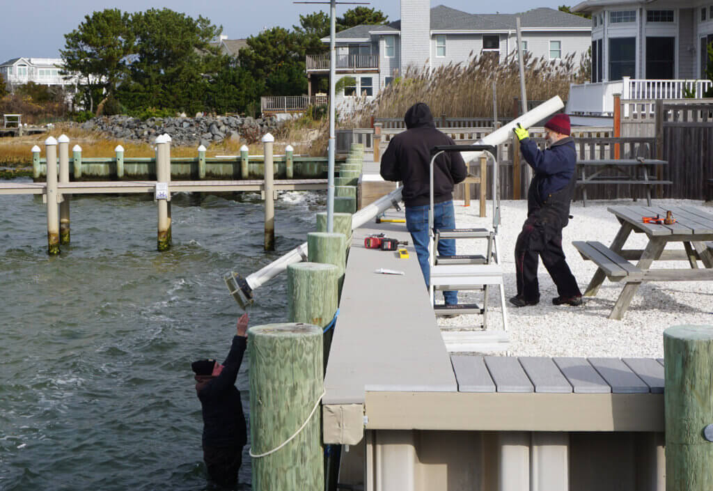
A new tide gauge installed for Long Beach Township by the Monmouth University Urban Coast Institute (UCI) is now collecting round-the-clock data for conditions in the southern reaches of Little Egg Harbor.
UCI Associate Director Tom Herrington and Marine Scientist Jim Nickels recently assembled the instrument and mounted it to the bulkhead behind the Long Beach Township Marine Education & Field Research Field Station, located in Holgate. The tide gauge will improve the availability of real-time information for boaters, fishers and others using the waters for recreation, while also collecting data that will help determine how climate change is influencing water levels in the area over the long term. It was purchased with a grant from the National Coastal Resilience Fund (NCRF).
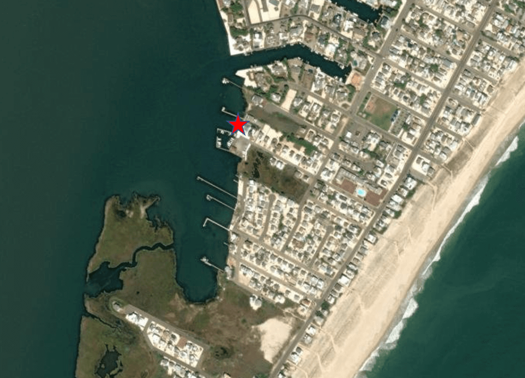
Herrington has been working with Long Beach Township, the New Jersey Bay Islands Initiative (NJBII) and several other external partners to develop a restoration plan for the region’s marsh islands, which provide critical ecological benefits and protect nearby communities from flooding, coastal storms and climate threats. Much of Herrington’s work has focused on Clam Cove Island, located just south of the tide gauge. Natural restoration strategies piloted there will inform approaches taken at marsh islands throughout Barnegat Bay and other estuaries in New Jersey.
Until about five years ago, Clam Cove Island wasn’t an island at all, but a small hook that visitors could walk across to go fishing. Today a small stream bisects the tract and is causing it to erode.
“I think Hurricane Sandy tipped it over,” Herrington said. “It didn’t create the breach, but it removed a lot of the sand that surrounded it and made it much more vulnerable.”
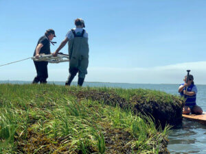
Over the last year, Herrington has worked with Monmouth University marine and environmental biology and policy students Tyler Barkey, Alexis Baumgartner, Nicole Cappolina, and Brooke van de Sande to collect data on waves, tides and currents at the island to determine how sediments move within the system. The findings are informing a plan for the island’s restoration, which will be released in the spring. Herrington said the goal is to repair the breach, make the beach accessible again, and stabilize the hook through methods including replanting marsh grasses and installing oyster reefs off its shore that will help control erosion.
According to the NJBII, 13 bay islands have succumbed to sea level rise since the 1970s and those remaining have lost 7 percent of their acreage from wave action produced by storms, wind and boat wakes. The organization estimates that Long Beach Township alone has lost nearly 40 acres of its bay islands to erosion since 1977.
Herrington said the gauge will fill important knowledge gaps for tide intervals in the Long Beach Island area. Although gauges were already in place at the Jacques Cousteau National Estuarine Research Reserve in Tuckerton (5 miles south of the field station) and the Manahawkin Bay Bridge in Ship Bottom (8 miles north), the tides can actually peak and ebb 1.5 to 2 hours apart, respectively, at the two sites.
“We’re learning that the tides in Tuckerton are heavily influenced by waves, but not Ship Bottom,” Herrington said. “But we don’t know yet whether they will be at the new station in Holgate.”