Tracking Turtles—With Drones
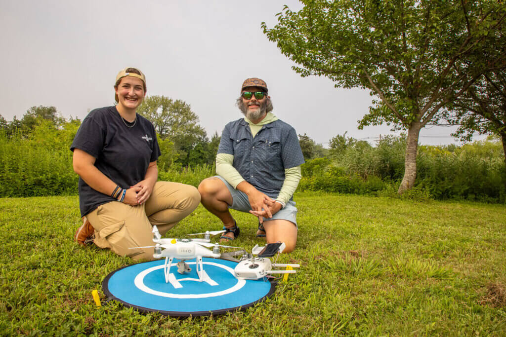
Student Researcher: Vicky O’Malley ’25
Faculty Mentor: Sean Sterrett, Ph.D., Associate Professor of Wildlife Ecology
Diamond-backed terrapins are declining across much of their range due to poaching, habitat loss, and road mortality. Traditionally, studying these turtles meant catching, handling, and measuring them—work that’s slow, invasive, and adds stress to animals that are already under pressure. Sterrett’s team wondered if there was a better way, and turned their focus skyward: studying terrapins from the air.
From Decoys to Data
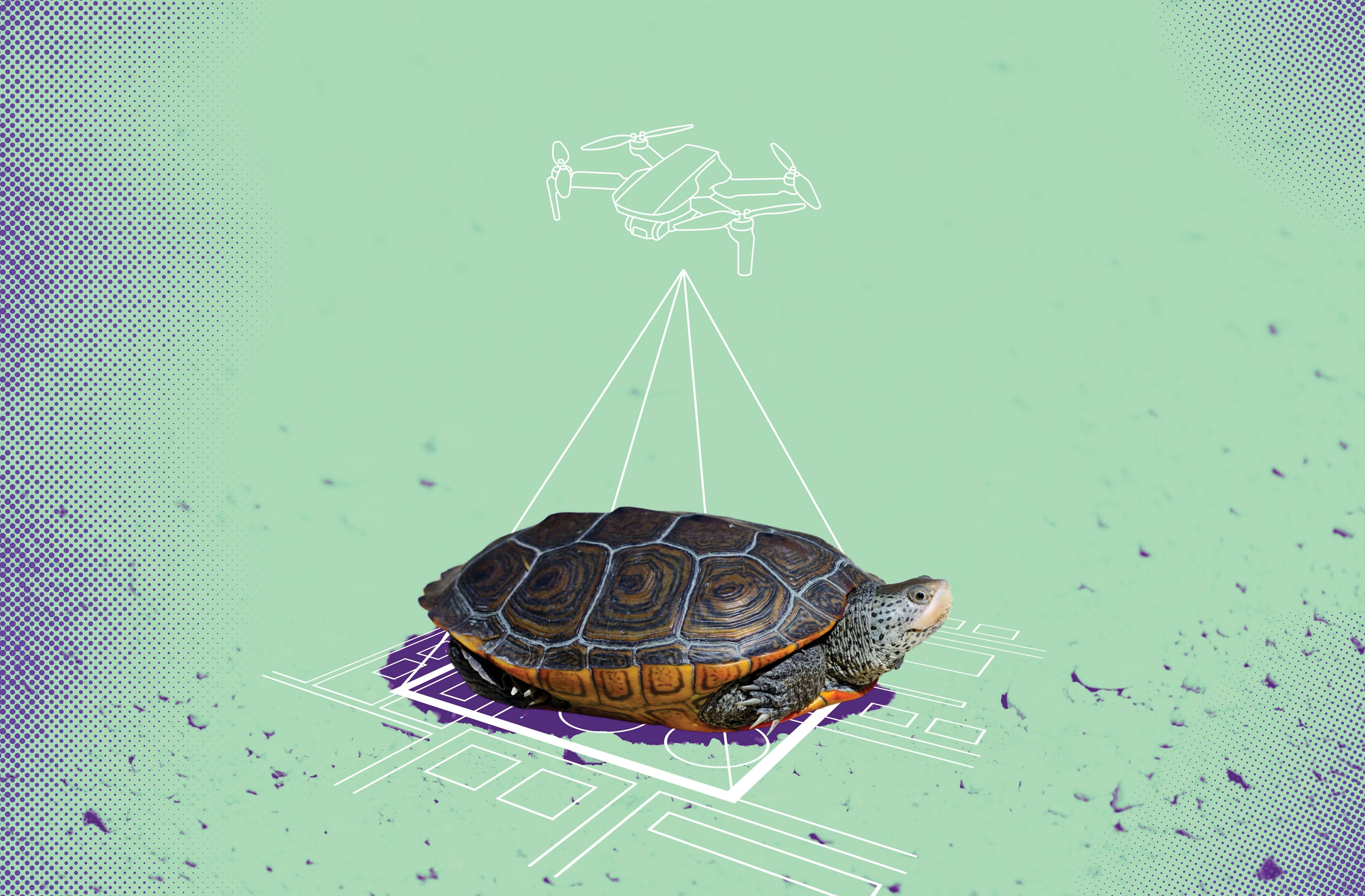
A few years ago, Sterrett’s team proved drones could help spot and count terrapins by running test flights over 3D-printed decoys. This summer, O’Malley advanced the project, asking a critical question: Could aerial photos taken by drones provide enough detail to measure turtles accurately? For her honors thesis, she compared shell lengths estimated from drone imagery with measurements taken by hand, drawing on surveys completed in Barnegat Bay, on lakes near Monmouth’s campus, and with partners in Cape Cod.
Measuring Up
The results were promising. Drone-based measurements came within one centimeter of traditional methods, showing that researchers can gather size data—and, by extension, insights into population health—without ever having to handle the turtles. The team also tested different flight heights, showing how altitude can affect accuracy. Along the way, one drone image captured nearly 800 terrapins gathered at the water’s surface—likely the largest aggregation ever documented in a single drone shot.
Why It Matters
Terrapins are the only brackish-water turtle native to North America and play an important role in coastal ecosystems. With populations in decline, this method offers a faster, noninvasive tool that could be scaled up for terrapins and adapted for other vulnerable species.
Next Steps
The team is preparing a manuscript and refining protocols so other scientists—and potentially citizen scientists—can adopt the method. Future plans include testing thermal imagery to improve detection and using repeated drone surveys to track population trends over time. As Sterrett puts it: “We have to learn faster. Drones give us a way to do that.”